Edge
Methodology
Create
a changing groundwater level by selecting edges.
Specify
the axis direction of the changing variable. For example,
if the groundwater level changes in the x direction of
the model, select the variable axis as x. Then input the
spacing value. For example, if the spacing is 1m, the
groundwater level lines are created in 1m intervals.
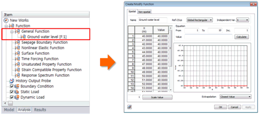
The
created water level is registered under Worktree >
Analysis > Function > General function and can be
edited as a table using right mouse click > Edit.

|
